Location:
New Mexico (Grants Mineral Belt), United States
Ownership:
100%
Deposit Type:
Sandstone-hosted uranium deposits
Primary Minerals:
Uranium
Stage:
Advanced Exploration
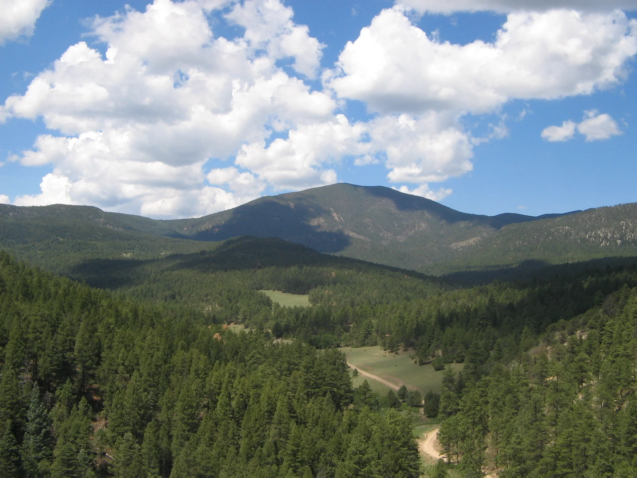
Cebolleta is an advanced uranium exploration project located in the northeastern corner of Cibola County, approximately 40 miles west of the city of Albuquerque, NM, and approximately 10 miles north of the town of Laguna, NM. The property encompasses 6,717 acres (2,718 hectares) of privately held mineral rights (fee or deeded) and approximately 5,700 acres (2,307 hectares) of surface rights owned in fee by La Merced del Pueblo de Cebolleta (Cebolleta Land Grant). The Project is in a region that has a lengthy history of uranium exploration and mining activity dating to the 1950’s and is close to necessary infrastructure and resources.
Premier American Uranium acquired the Project through a Plan of Arrangement between the Company and American Future Fuel in June 2024.
|
Classification |
Zone |
Grade Cut-off (% eU308) |
Tonnage (Million st) |
Grade (% eU308) |
Contained Metal (Million lb eU308) |
AMPS Basis (%) |
Recovery U308 (%) |
|
Underground |
|||||||
|
Indicated |
Area I |
0.072 |
0.8 |
0.168 |
2.6 |
100 |
95 |
|
Area II |
0.072 |
2.3 |
0.193 |
8.7 |
100 |
95 |
|
|
Area III |
0.072 |
0.7 |
0.192 |
2.7 |
100 |
95 |
|
|
Area IV |
0.072 |
0.0 |
- |
0.0 |
100 |
95 |
|
|
Area V |
0.072 |
0.4 |
0.208 |
1.6 |
100 |
95 |
|
|
Subtotal Indicated |
|
|
4.1 |
0.189 |
15.6 |
100 |
95 |
|
Depletion JJ#1 |
|
|
-0.9 |
0.123 |
-2.2 |
|
|
|
Total Indicated |
|
|
3.2 |
0.208 |
13.4 |
|
|
|
Inferred |
Area I |
0.072 |
0.2 |
0.118 |
0.4 |
100 |
95 |
|
Area II |
0.072 |
0.3 |
0.131 |
0.8 |
100 |
95 |
|
|
Area III |
0.072 |
0.2 |
0.156 |
0.6 |
100 |
95 |
|
|
Area IV |
0.072 |
0.1 |
0.105 |
0.3 |
100 |
95 |
|
|
Area V |
0.072 |
0.2 |
0.161 |
0.5 |
100 |
95 |
|
|
Total Inferred |
|
|
1.0 |
0.135 |
2.6 |
100 |
95 |
|
Open Pit |
|||||||
|
Indicated |
St. Anthony North Pit |
0.024 |
3.3 |
0.081 |
5.4 |
100 |
95 |
|
0.024 |
0.1 |
0.084 |
0.2 |
100 |
95 |
||
|
Subtotal Indicated |
|
|
3.4 |
0.081 |
5.5 |
100 |
95 |
|
Depletion Climax M6 |
|
|
-0.1 |
0.205 |
-0.3 |
|
|
|
Total Indicated |
|
|
3.3 |
0.078 |
5.2 |
|
|
|
Inferred |
St. Anthony North Pit |
0.024 |
1.3 |
0.070 |
1.8 |
100 |
95 |
|
0.024 |
0.3 |
0.078 |
0.5 |
100 |
95 |
||
|
Total Inferred |
|
|
1.6 |
0.072 |
2.3 |
100 |
95 |
Notes:
See NI 43-101 Technical Report on the Cebolleta Uranium Project Cibola County, New Mexico, USA – effective date April 30, 2024, prepared by SLR International Corporation
The deposits that comprise the Project are classified as sandstone hosted uranium deposits with eight deposits occurring as a series of tabular bodies within the Jackpile Sandstone Member of the Upper Jurassic Morrison Formation within the boundaries of property.
These deposits are part of a broad and extensive area of uranium mineralization, including the Jackpile-Paguate deposit, located adjacent to the southern boundary of the property, which was one of the largest concentrations of uranium mineralization in the United States. The L-Bar occurrence area contains five distinct deposits, including Areas I, II, III, IV, and V. The historical JJ#1 Mine is situated in the northwest corner of the Area II Deposit area. In addition to the L-Bar deposits, three distinct deposits occur in the St. Anthony area of the property.
Cebolleta has been subject to extensive exploration and development from the 1950s through the 1980s. Past efforts revealed several significant sandstone-hosted uranium deposits ranging from 200 to 800ft (60-240m) deep in the Jurassic Jackpile Sandstone. These deposits were amenable to both surface and underground mining, which culminated from 1975-1981 when over 3.8M lbs U3O8 was produced from the JJ#1 and St. Anthony Mines[2].
The vast majority of known uranium mineralization still exists at Cebolleta – namely from the Sohio Area (mineralization in Areas I-V) and the St. Anthony Area (mineralization adjoining the St. Anthony open pits and the Willie P underground mine).
The production history of the Project is as follows:
Significant exploration potential is believed to remain on the Project. The mineralized horizons of the Jackpile sandstone are open ended and potentially trend beyond the external limits of the drill hole grid. Potential exists to extend mineralization into previously untested areas of the Project, where this mineralized zone is present but not drill tested in a comprehensive manner.
Designed and built by Red Cloud Media

Subscribe for the latest updates from Premier American Uranium!